40mph sign, Dundonald (May 2015)
Introduction
The photograph on this page of 40mph sign, Dundonald (May 2015) by Albert Bridge as part of the Geograph project.
The Geograph project started in 2005 with the aim of publishing, organising and preserving representative images for every square kilometre of Great Britain, Ireland and the Isle of Man.

There are currently over 7.5m images from over 14,400 individuals and you can help contribute to the project by visiting https://www.geograph.org.uk
40mph sign, Dundonald (May 2015)
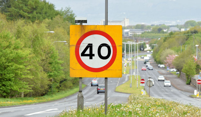
Image: © Albert Bridge Taken: 11 May 2015
The 40mph speed limit sign, on the inward lanes of the Upper Newtownards Road Image (Kempe Stones Road on the Google map), as it descends towards Dundonald and Belfast. Image shows the view in the opposite direction.
Images are licensed for reuse under creativecommons.org/licenses/by-sa/2.0
Image Location
Latitude
54.593768
Longitude
-5.770566