Field End Road
Introduction
The photograph on this page of Field End Road by David P Howard as part of the Geograph project.
The Geograph project started in 2005 with the aim of publishing, organising and preserving representative images for every square kilometre of Great Britain, Ireland and the Isle of Man.

There are currently over 7.5m images from over 14,400 individuals and you can help contribute to the project by visiting https://www.geograph.org.uk
Field End Road
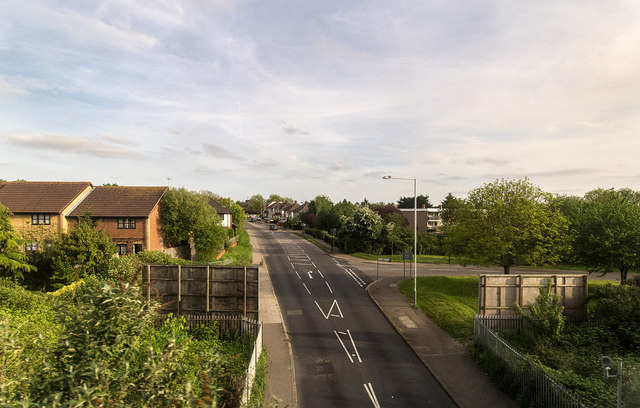
Image: © David P Howard Taken: 10 May 2015
View SSE down Field End Road past the junction with Rabournmead Drive. Taken from a passing Chiltern Railways train from the bridge over Field End Road.
Images are licensed for reuse under creativecommons.org/licenses/by-sa/2.0
Image Location
Latitude
51.554738
Longitude
-0.377987