Cae-Higgin
Introduction
The photograph on this page of Cae-Higgin by Chris Heaton as part of the Geograph project.
The Geograph project started in 2005 with the aim of publishing, organising and preserving representative images for every square kilometre of Great Britain, Ireland and the Isle of Man.

There are currently over 7.5m images from over 14,400 individuals and you can help contribute to the project by visiting https://www.geograph.org.uk
Cae-Higgin
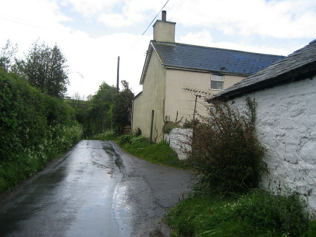
Image: © Chris Heaton Taken: 15 May 2007
Farm on the Offa's Dyke National Trail roughly half way between Hay-on-Wye and Newchurch.
Images are licensed for reuse under creativecommons.org/licenses/by-sa/2.0
Image Location


Leaflet Map data © OpenStreetMap
Latitude
52.123281
Longitude
-3.12889