Peaton Road
Introduction
The photograph on this page of Peaton Road by Thomas Nugent as part of the Geograph project.
The Geograph project started in 2005 with the aim of publishing, organising and preserving representative images for every square kilometre of Great Britain, Ireland and the Isle of Man.

There are currently over 7.5m images from over 14,400 individuals and you can help contribute to the project by visiting https://www.geograph.org.uk
Peaton Road
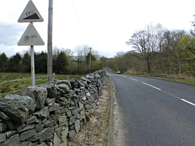
Image: © Thomas Nugent Taken: 27 Apr 2015
The start of the 17% climb to the top of Peaton Hill. See the same view before the paintwork on the signs faded Image
Images are licensed for reuse under creativecommons.org/licenses/by-sa/2.0
Image Location
Latitude
56.033749
Longitude
-4.860875