Road leading into The Cullerns
Introduction
The photograph on this page of Road leading into The Cullerns by Michael Wright as part of the Geograph project.
The Geograph project started in 2005 with the aim of publishing, organising and preserving representative images for every square kilometre of Great Britain, Ireland and the Isle of Man.

There are currently over 7.5m images from over 14,400 individuals and you can help contribute to the project by visiting https://www.geograph.org.uk
Road leading into The Cullerns
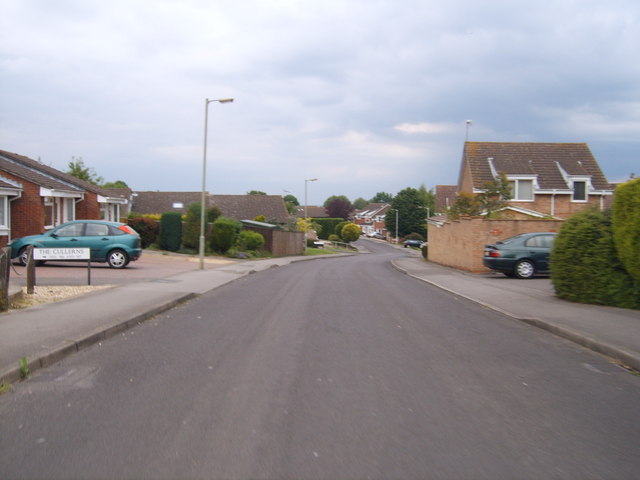
Image: © Michael Wright Taken: 26 May 2007
Typical estate road on the new side of Highworth. The Harefield/Cullerns estate (on the east of the hill) started well after the Home Farm council estate and the scottish island road name (Stroma, Islay, Araan, Barra...) Maclean estate which was completed in the early 70s.
Images are licensed for reuse under creativecommons.org/licenses/by-sa/2.0
Image Location
Latitude
51.631935
Longitude
-1.706804