Unmanned Level Crossing on Carlisle to Newcastle line
Introduction
The photograph on this page of Unmanned Level Crossing on Carlisle to Newcastle line by Rose and Trev Clough as part of the Geograph project.
The Geograph project started in 2005 with the aim of publishing, organising and preserving representative images for every square kilometre of Great Britain, Ireland and the Isle of Man.

There are currently over 7.5m images from over 14,400 individuals and you can help contribute to the project by visiting https://www.geograph.org.uk
Unmanned Level Crossing on Carlisle to Newcastle line
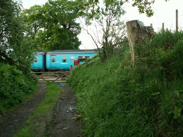
Image: © Rose and Trev Clough Taken: 27 May 2007
Public Footpath to Wetheral Plain
Images are licensed for reuse under creativecommons.org/licenses/by-sa/2.0
Image Location
Latitude
54.888075
Longitude
-2.855808