Distances to locations near Bridstow
Introduction
The photograph on this page of Distances to locations near Bridstow by Jaggery as part of the Geograph project.
The Geograph project started in 2005 with the aim of publishing, organising and preserving representative images for every square kilometre of Great Britain, Ireland and the Isle of Man.

There are currently over 7.5m images from over 14,400 individuals and you can help contribute to the project by visiting https://www.geograph.org.uk
Distances to locations near Bridstow
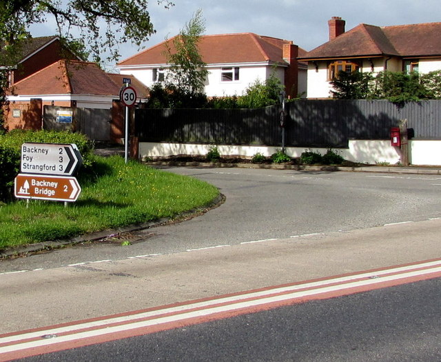
Image: © Jaggery Taken: 4 May 2015
The sign points across the A49 towards a minor road to Backney (2 miles), Foy and Strangford (both 3 miles). The red postbox http://www.geograph.org.uk/photo/4460031 is from the reign of King George VI.
Images are licensed for reuse under creativecommons.org/licenses/by-sa/2.0
Image Location


Leaflet Map data © OpenStreetMap
Latitude
51.917382
Longitude
-2.604502