Junction of Waterside road with A944
Introduction
The photograph on this page of Junction of Waterside road with A944 by Stanley Howe as part of the Geograph project.
The Geograph project started in 2005 with the aim of publishing, organising and preserving representative images for every square kilometre of Great Britain, Ireland and the Isle of Man.

There are currently over 7.5m images from over 14,400 individuals and you can help contribute to the project by visiting https://www.geograph.org.uk
Junction of Waterside road with A944
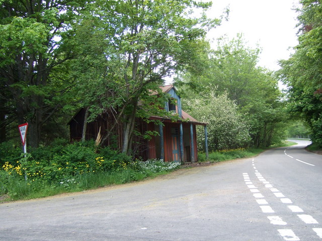
Image: © Stanley Howe Taken: 26 May 2007
Name and function of the derelict building ahead with its colonnade not determinable from OS maps. Can anyone enlighten me please?
Images are licensed for reuse under creativecommons.org/licenses/by-sa/2.0
Image Location


Leaflet Map data © OpenStreetMap
Latitude
57.193799
Longitude
-3.035524