Junction and sign for road to Stanwick
Introduction
The photograph on this page of Junction and sign for road to Stanwick by Tony Simms as part of the Geograph project.
The Geograph project started in 2005 with the aim of publishing, organising and preserving representative images for every square kilometre of Great Britain, Ireland and the Isle of Man.

There are currently over 7.5m images from over 14,400 individuals and you can help contribute to the project by visiting https://www.geograph.org.uk
Junction and sign for road to Stanwick
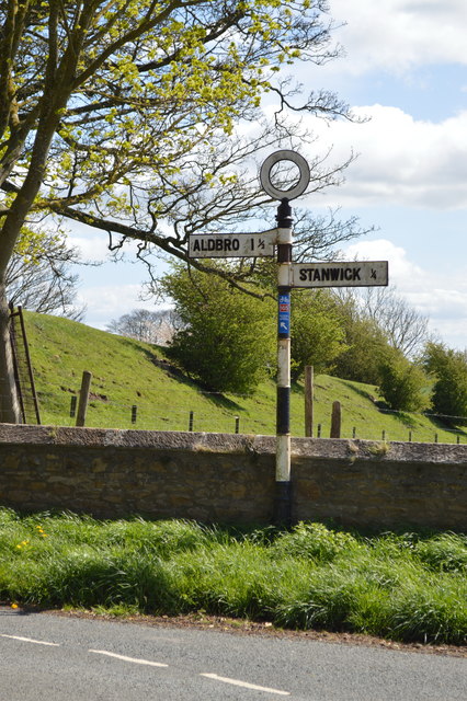
Image: © Tony Simms Taken: 4 May 2015
Stanwick is a tiny hamlet in a cul-de-sac. The Stanwick Arms is in the next village Aldbrough St John (Aldbro on this sign).
Images are licensed for reuse under creativecommons.org/licenses/by-sa/2.0
Image Location
Latitude
54.504864
Longitude
-1.712116