The Cedar Tree, Bagshot
Introduction
The photograph on this page of The Cedar Tree, Bagshot by Len Williams as part of the Geograph project.
The Geograph project started in 2005 with the aim of publishing, organising and preserving representative images for every square kilometre of Great Britain, Ireland and the Isle of Man.

There are currently over 7.5m images from over 14,400 individuals and you can help contribute to the project by visiting https://www.geograph.org.uk
The Cedar Tree, Bagshot
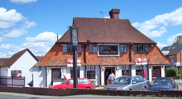
Image: © Len Williams Taken: 28 Apr 2015
The Cedar Tree public house is named after the cedar tree opposite it, see picture Image It was previously called ‘The Fighting Cocks’. In the early 1700s the public house appears to have been called ‘The Bull’.
Images are licensed for reuse under creativecommons.org/licenses/by-sa/2.0
Image Location
Latitude
51.36059
Longitude
-0.694386