River Thames, Lower Halliford
Introduction
The photograph on this page of River Thames, Lower Halliford by Alan Hunt as part of the Geograph project.
The Geograph project started in 2005 with the aim of publishing, organising and preserving representative images for every square kilometre of Great Britain, Ireland and the Isle of Man.

There are currently over 7.5m images from over 14,400 individuals and you can help contribute to the project by visiting https://www.geograph.org.uk
River Thames, Lower Halliford
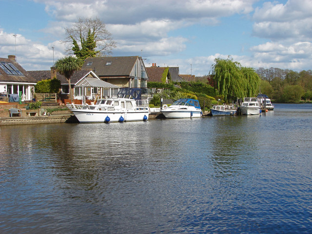
Image: © Alan Hunt Taken: 28 Apr 2015
The houses along Thames Meadow in Lower Halliford from Desborough Island.
Images are licensed for reuse under creativecommons.org/licenses/by-sa/2.0
Image Location
Latitude
51.384864
Longitude
-0.436886