The Closes
Introduction
The photograph on this page of The Closes by Graham Horn as part of the Geograph project.
The Geograph project started in 2005 with the aim of publishing, organising and preserving representative images for every square kilometre of Great Britain, Ireland and the Isle of Man.

There are currently over 7.5m images from over 14,400 individuals and you can help contribute to the project by visiting https://www.geograph.org.uk
The Closes
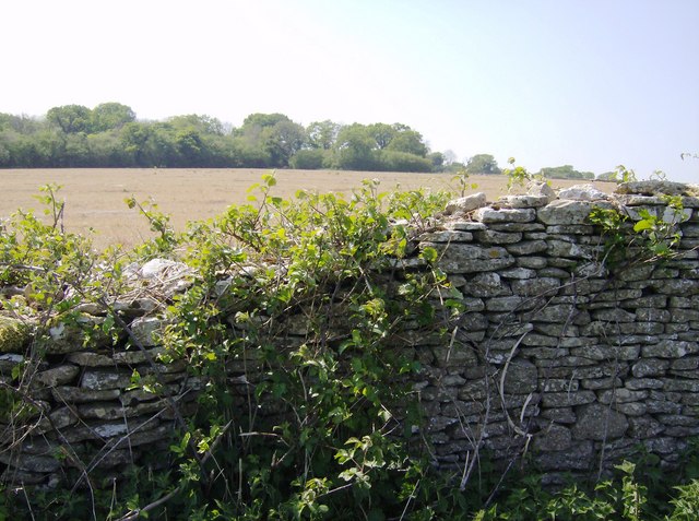
Image: © Graham Horn Taken: 2 May 2007
The Closes is the name of the woodland in the background beyond a fallow arable field. There are many dry stone walls around here. They have used some of the poorer quality stone and are tending to be in a state of disrepair.
Images are licensed for reuse under creativecommons.org/licenses/by-sa/2.0
Image Location
Latitude
51.399964
Longitude
-2.250215