Hawkshill Freedown
Introduction
The photograph on this page of Hawkshill Freedown by Marathon as part of the Geograph project.
The Geograph project started in 2005 with the aim of publishing, organising and preserving representative images for every square kilometre of Great Britain, Ireland and the Isle of Man.

There are currently over 7.5m images from over 14,400 individuals and you can help contribute to the project by visiting https://www.geograph.org.uk
Hawkshill Freedown
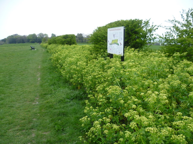
Image: © Marathon Taken: 2 May 2015
During the 16th century this area was used for training the troops based at Walmer Castle. It is thought that the name Hawkshill derives from Captain Hawke who was commander of the castle at that time. In the early part of the 20th century this chalk downland was being used as an aerodrome. The location gave easy access across the English Channel which was vital for planes which had poor range and reliability. The nearby memorial is to pilots who flew from here and were killed fighting in France during the First World War. See http://www.geograph.org.uk/photo/4458596 After the War the land returned to farming but in 1939 it was requisitioned again for military use. The ground was not considered suitable for the more powerful and heavier planes in use then, so it was used as part of the network of secret radar installations. From here Allied bombers were guided to their targets in Europe. In 1999 Hawkshill Freedown was purchased by Walmer Parish Council so that it could be maintained as an open space. For more information see http://www.walmerweb.co.uk/history/hawkshill.html and http://www.kentfallen.com/PDF%20REPORTS/WALMER%20AIRFIELD.pdf
Images are licensed for reuse under creativecommons.org/licenses/by-sa/2.0
Image Location
Latitude
51.196533
Longitude
1.396693