High Street, Wingham
Introduction
The photograph on this page of High Street, Wingham by Marathon as part of the Geograph project.
The Geograph project started in 2005 with the aim of publishing, organising and preserving representative images for every square kilometre of Great Britain, Ireland and the Isle of Man.

There are currently over 7.5m images from over 14,400 individuals and you can help contribute to the project by visiting https://www.geograph.org.uk
High Street, Wingham
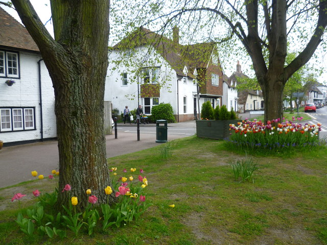
Image: © Marathon Taken: 2 May 2015
Wingham became established as a village in Roman times. It is an attractive village on the main Canterbury to Sandwich Road. This is a service road which runs parallel to the High Street. The road ahead branching off is St Mary's Meadow. For more information about Wingham see http://en.wikipedia.org/wiki/Wingham,_Kent
Images are licensed for reuse under creativecommons.org/licenses/by-sa/2.0
Image Location
Latitude
51.273445
Longitude
1.215225