Rutland Street, SW7
Introduction
The photograph on this page of Rutland Street, SW7 by Danny P Robinson as part of the Geograph project.
The Geograph project started in 2005 with the aim of publishing, organising and preserving representative images for every square kilometre of Great Britain, Ireland and the Isle of Man.

There are currently over 7.5m images from over 14,400 individuals and you can help contribute to the project by visiting https://www.geograph.org.uk
Rutland Street, SW7
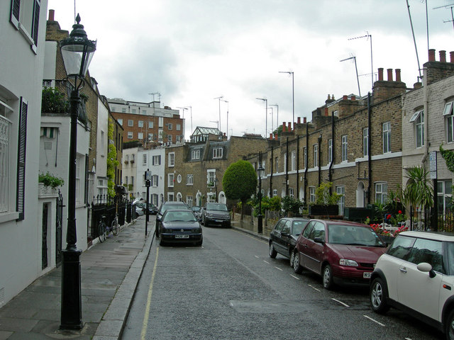
Image: © Danny P Robinson Taken: 15 May 2007
Low rise housing in amongst high buildings is obviously causing TV reception difficulty here. Straight ahead, it looks as though one house has a greenhouse / garden room / sun room on the roof.
Images are licensed for reuse under creativecommons.org/licenses/by-sa/2.0
Image Location


Leaflet Map data © OpenStreetMap
Latitude
51.498337
Longitude
-0.168926