End of the 30mph speed limit in Llandybie
Introduction
The photograph on this page of End of the 30mph speed limit in Llandybie by Jaggery as part of the Geograph project.
The Geograph project started in 2005 with the aim of publishing, organising and preserving representative images for every square kilometre of Great Britain, Ireland and the Isle of Man.

There are currently over 7.5m images from over 14,400 individuals and you can help contribute to the project by visiting https://www.geograph.org.uk
End of the 30mph speed limit in Llandybie
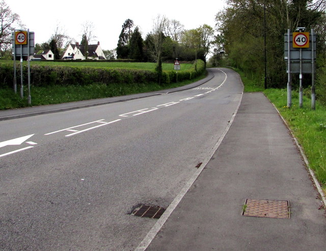
Image: © Jaggery Taken: 1 May 2015
The speed limit on the A483 increases to 40mph. The Llandybie southern boundary signs http://www.geograph.org.uk/photo/4457145 are on the back of the 40 signs.
Images are licensed for reuse under creativecommons.org/licenses/by-sa/2.0
Image Location
Latitude
51.809509
Longitude
-3.999219