Carronshore, Dock Street
Introduction
The photograph on this page of Carronshore, Dock Street by Robert Murray as part of the Geograph project.
The Geograph project started in 2005 with the aim of publishing, organising and preserving representative images for every square kilometre of Great Britain, Ireland and the Isle of Man.

There are currently over 7.5m images from over 14,400 individuals and you can help contribute to the project by visiting https://www.geograph.org.uk
Carronshore, Dock Street
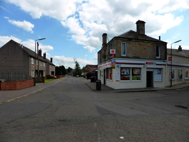
Image: © Robert Murray Taken: 17 Jul 2014
This street gets its name from the graving dock on the Carron that was situated on the site of the houses on the left of the street. The dock would have serviced sea going craft that used to do trade with the Carron Iron Works further up river. See O.S. map Stirlingshire 024.12 Publication date: 1897
Images are licensed for reuse under creativecommons.org/licenses/by-sa/2.0
Image Location
Latitude
56.026284
Longitude
-3.776189