Milton Road: guided busway extension
Introduction
The photograph on this page of Milton Road: guided busway extension by John Sutton as part of the Geograph project.
The Geograph project started in 2005 with the aim of publishing, organising and preserving representative images for every square kilometre of Great Britain, Ireland and the Isle of Man.

There are currently over 7.5m images from over 14,400 individuals and you can help contribute to the project by visiting https://www.geograph.org.uk
Milton Road: guided busway extension
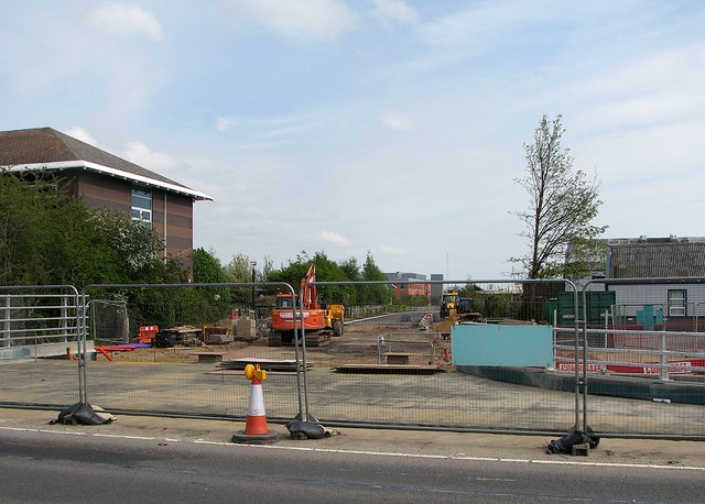
Image: © John Sutton Taken: 2 May 2015
A branch of the Cambridge Guided Busway is being built from Milton Road to the site of the proposed Science Park railway station at the former Chesterton Sidings. Image] shows the state of progress in November 2014.
Images are licensed for reuse under creativecommons.org/licenses/by-sa/2.0
Image Location


Leaflet Map data © OpenStreetMap
Latitude
52.229328
Longitude
0.149034