Risk of grounding sign, McKays, Llandybie
Introduction
The photograph on this page of Risk of grounding sign, McKays, Llandybie by Jaggery as part of the Geograph project.
The Geograph project started in 2005 with the aim of publishing, organising and preserving representative images for every square kilometre of Great Britain, Ireland and the Isle of Man.

There are currently over 7.5m images from over 14,400 individuals and you can help contribute to the project by visiting https://www.geograph.org.uk
Risk of grounding sign, McKays, Llandybie
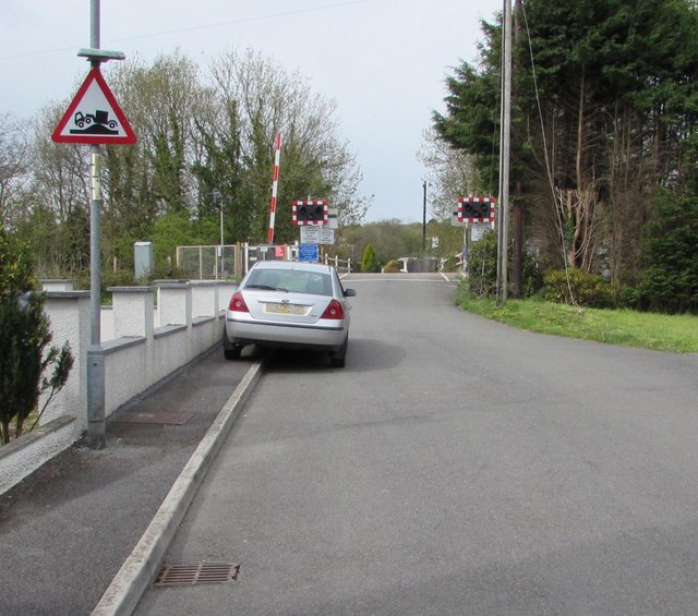
Image: © Jaggery Taken: 1 May 2015
Alongside the street named McKays, the sign depicting an exaggerated mound beneath a grounded vehicle warns of the possibility of long vehicles grounding on the level crossing ahead. http://www.geograph.org.uk/photo/4456045
Images are licensed for reuse under creativecommons.org/licenses/by-sa/2.0
Image Location
Latitude
51.810658
Longitude
-4.00043