Saddlescombe
Introduction
The photograph on this page of Saddlescombe by Peter Jeffery as part of the Geograph project.
The Geograph project started in 2005 with the aim of publishing, organising and preserving representative images for every square kilometre of Great Britain, Ireland and the Isle of Man.

There are currently over 7.5m images from over 14,400 individuals and you can help contribute to the project by visiting https://www.geograph.org.uk
Saddlescombe
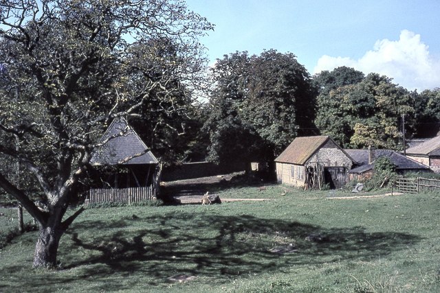
Image: © Peter Jeffery Taken: Unknown
The building on the left houses the well head with its donkey wheel, and on the right are the buildings of Saddlescombe Farm.
Images are licensed for reuse under creativecommons.org/licenses/by-sa/2.0
Image Location
Latitude
50.888603
Longitude
-0.19109