Binghill Recumbent Stone Circle (4)
Introduction
The photograph on this page of Binghill Recumbent Stone Circle (4) by Anne Burgess as part of the Geograph project.
The Geograph project started in 2005 with the aim of publishing, organising and preserving representative images for every square kilometre of Great Britain, Ireland and the Isle of Man.

There are currently over 7.5m images from over 14,400 individuals and you can help contribute to the project by visiting https://www.geograph.org.uk
Binghill Recumbent Stone Circle (4)
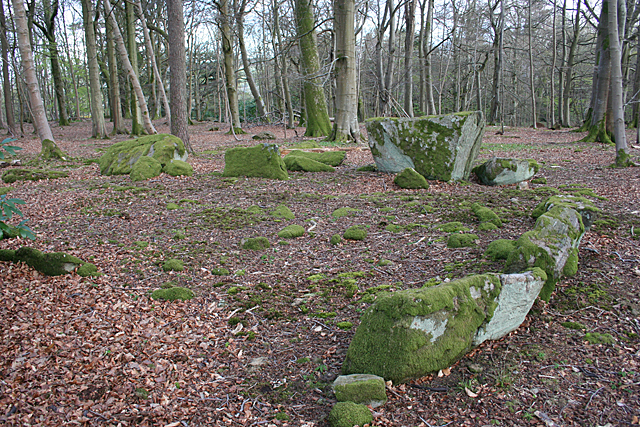
Image: © Anne Burgess Taken: 28 Apr 2015
In the foreground are some kerb stones still in their original position, curving round towards the recumbent and its fallen flankers. See http://canmore.rcahms.gov.uk/en/site/19377/details/binghill/ for a fuller description. Image]
Images are licensed for reuse under creativecommons.org/licenses/by-sa/2.0
Image Location
Latitude
57.112052
Longitude
-2.240708