Vange Turn-off
Introduction
The photograph on this page of Vange Turn-off by Martin Addison as part of the Geograph project.
The Geograph project started in 2005 with the aim of publishing, organising and preserving representative images for every square kilometre of Great Britain, Ireland and the Isle of Man.

There are currently over 7.5m images from over 14,400 individuals and you can help contribute to the project by visiting https://www.geograph.org.uk
Vange Turn-off
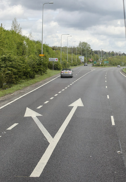
Image: © Martin Addison Taken: 25 Apr 2015
Slip road near Vange giving access to the A176 and the B1464 from the A13.
Images are licensed for reuse under creativecommons.org/licenses/by-sa/2.0
Image Location
Latitude
51.550119
Longitude
0.461041