Possil Marsh Wildlife Reserve sign
Introduction
The photograph on this page of Possil Marsh Wildlife Reserve sign by Richard Sutcliffe as part of the Geograph project.
The Geograph project started in 2005 with the aim of publishing, organising and preserving representative images for every square kilometre of Great Britain, Ireland and the Isle of Man.

There are currently over 7.5m images from over 14,400 individuals and you can help contribute to the project by visiting https://www.geograph.org.uk
Possil Marsh Wildlife Reserve sign
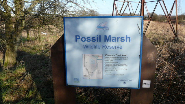
Image: © Richard Sutcliffe Taken: 12 Jan 2012
The Scottish Wildlife Trust run Possil Marsh, situated beside the Forth and Clyde Canal, as a nature reserve. The site is a Site of Special Scientific Interest on account of 'an area of mesotrophic standing water surrounded by extensive fen/swamp communities' (Scottish Natural Heritage's SSSI citation).
Images are licensed for reuse under creativecommons.org/licenses/by-sa/2.0
Image Location
Latitude
55.904104
Longitude
-4.261724