Churchyard View
Introduction
The photograph on this page of Churchyard View by Gordon Griffiths as part of the Geograph project.
The Geograph project started in 2005 with the aim of publishing, organising and preserving representative images for every square kilometre of Great Britain, Ireland and the Isle of Man.

There are currently over 7.5m images from over 14,400 individuals and you can help contribute to the project by visiting https://www.geograph.org.uk
Churchyard View
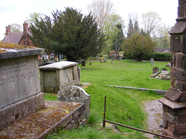
Image: © Gordon Griffiths Taken: 24 Apr 2015
The view of the churchyard to St Peter's Church Worfield. The church is thought to be Saxon founded by Earl Leofic, husband of Lady Godiva. The oldest part of the existing building dates back to about 1150.
Images are licensed for reuse under creativecommons.org/licenses/by-sa/2.0
Image Location
Latitude
52.559671
Longitude
-2.358548