Course of Dere Street north-west of West Broomley
Introduction
The photograph on this page of Course of Dere Street north-west of West Broomley by Andrew Curtis as part of the Geograph project.
The Geograph project started in 2005 with the aim of publishing, organising and preserving representative images for every square kilometre of Great Britain, Ireland and the Isle of Man.

There are currently over 7.5m images from over 14,400 individuals and you can help contribute to the project by visiting https://www.geograph.org.uk
Course of Dere Street north-west of West Broomley
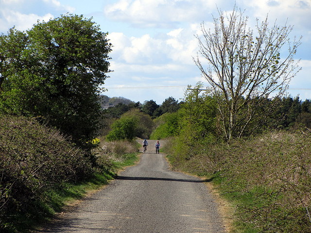
Image: © Andrew Curtis Taken: 26 Apr 2015
Section of the Roman road now cut off from modern traffic by the A68.
Images are licensed for reuse under creativecommons.org/licenses/by-sa/2.0
Image Location
Latitude
54.938891
Longitude
-1.960168