Sefton Rd
Introduction
The photograph on this page of Sefton Rd by Nigel Mykura as part of the Geograph project.
The Geograph project started in 2005 with the aim of publishing, organising and preserving representative images for every square kilometre of Great Britain, Ireland and the Isle of Man.

There are currently over 7.5m images from over 14,400 individuals and you can help contribute to the project by visiting https://www.geograph.org.uk
Sefton Rd
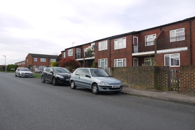
Image: © Nigel Mykura Taken: 17 Apr 2015
These unusual modern terraced houses with balconies at the front are on Sefton Rd next to the junction with Rutland Rd which can be seen going off to the right on the left of the picture. There is a small courtyard behind the houses for parking cars.
Images are licensed for reuse under creativecommons.org/licenses/by-sa/2.0
Image Location
Latitude
51.346916
Longitude
-0.264429