A road called Moleshead, climbing up Nettleton Hill
Introduction
The photograph on this page of A road called Moleshead, climbing up Nettleton Hill by Christine Johnstone as part of the Geograph project.
The Geograph project started in 2005 with the aim of publishing, organising and preserving representative images for every square kilometre of Great Britain, Ireland and the Isle of Man.

There are currently over 7.5m images from over 14,400 individuals and you can help contribute to the project by visiting https://www.geograph.org.uk
A road called Moleshead, climbing up Nettleton Hill
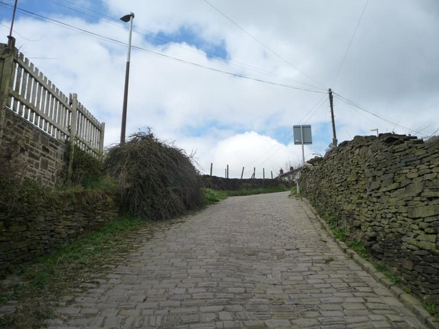
Image: © Christine Johnstone Taken: 19 Apr 2015
The only vehicle access to and from houses at the foot of the hill.
Images are licensed for reuse under creativecommons.org/licenses/by-sa/2.0
Image Location
Latitude
53.648165
Longitude
-1.862147