Firtree Farm
Introduction
The photograph on this page of Firtree Farm by Jon Coupland as part of the Geograph project.
The Geograph project started in 2005 with the aim of publishing, organising and preserving representative images for every square kilometre of Great Britain, Ireland and the Isle of Man.

There are currently over 7.5m images from over 14,400 individuals and you can help contribute to the project by visiting https://www.geograph.org.uk
Firtree Farm
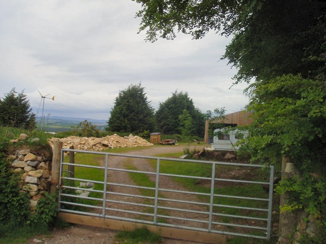
Image: © Jon Coupland Taken: 26 May 2007
Firtree Farm near Cox Park Showing a windmill on this windy hill with Dartmoor hills in the distance
Images are licensed for reuse under creativecommons.org/licenses/by-sa/2.0
Image Location


Leaflet Map data © OpenStreetMap
Latitude
50.527796
Longitude
-4.255654