Outbuildings, Farmers Arms
Introduction
The photograph on this page of Outbuildings, Farmers Arms by Tony Simms as part of the Geograph project.
The Geograph project started in 2005 with the aim of publishing, organising and preserving representative images for every square kilometre of Great Britain, Ireland and the Isle of Man.

There are currently over 7.5m images from over 14,400 individuals and you can help contribute to the project by visiting https://www.geograph.org.uk
Outbuildings, Farmers Arms
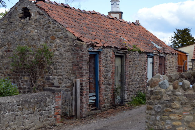
Image: © Tony Simms Taken: 26 Apr 2015
These quite charming outbuildings lie behind the Farmers Arms. They are mainly unused following a fire on Christmas Eve several years ago.
Images are licensed for reuse under creativecommons.org/licenses/by-sa/2.0
Image Location


Leaflet Map data © OpenStreetMap
Latitude
54.396754
Longitude
-1.616301