Track down to River Washburn and Dobpark Bridge
Introduction
The photograph on this page of Track down to River Washburn and Dobpark Bridge by Martin Dawes as part of the Geograph project.
The Geograph project started in 2005 with the aim of publishing, organising and preserving representative images for every square kilometre of Great Britain, Ireland and the Isle of Man.

There are currently over 7.5m images from over 14,400 individuals and you can help contribute to the project by visiting https://www.geograph.org.uk
Track down to River Washburn and Dobpark Bridge
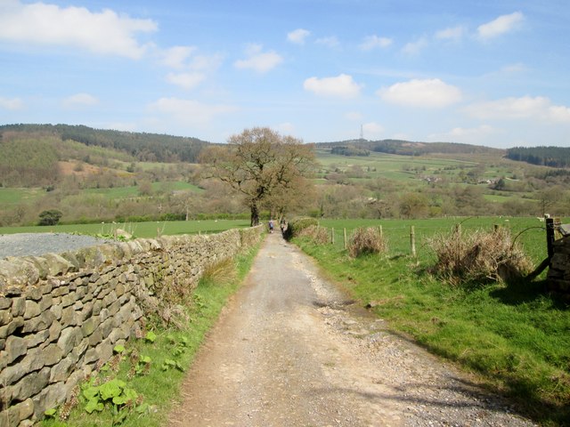
Image: © Martin Dawes Taken: 20 Apr 2015
Washburn Dale on a good day, route of the Six Dales Trail
Images are licensed for reuse under creativecommons.org/licenses/by-sa/2.0
Image Location
Latitude
53.950502
Longitude
-1.702992