Ayr: Pavilion and restaurant
Introduction
The photograph on this page of Ayr: Pavilion and restaurant by Dr Neil Clifton as part of the Geograph project.
The Geograph project started in 2005 with the aim of publishing, organising and preserving representative images for every square kilometre of Great Britain, Ireland and the Isle of Man.

There are currently over 7.5m images from over 14,400 individuals and you can help contribute to the project by visiting https://www.geograph.org.uk
Ayr: Pavilion and restaurant
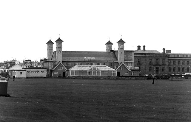
Image: © Dr Neil Clifton Taken: 7 Aug 1978
The British Chess Championships were being held here.
Images are licensed for reuse under creativecommons.org/licenses/by-sa/2.0
Image Location
Latitude
55.460524
Longitude
-4.64043