The Saxon Shore Way reaches Hamgreen Saltings
Introduction
The photograph on this page of The Saxon Shore Way reaches Hamgreen Saltings by Marathon as part of the Geograph project.
The Geograph project started in 2005 with the aim of publishing, organising and preserving representative images for every square kilometre of Great Britain, Ireland and the Isle of Man.

There are currently over 7.5m images from over 14,400 individuals and you can help contribute to the project by visiting https://www.geograph.org.uk
The Saxon Shore Way reaches Hamgreen Saltings
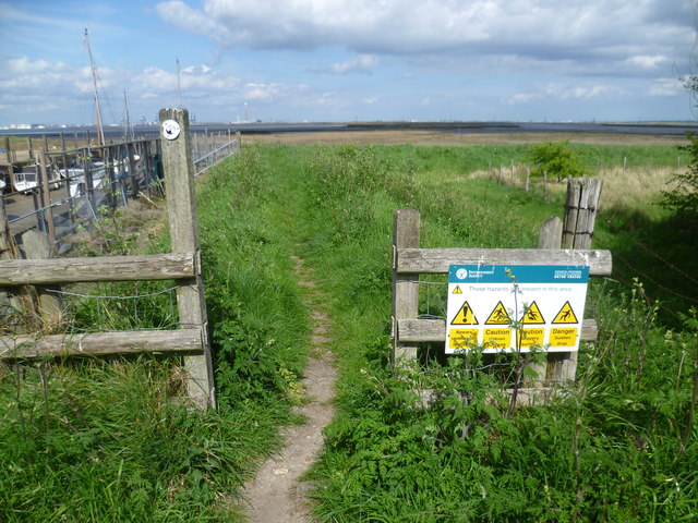
Image: © Marathon Taken: 25 Apr 2015
The Saxon Shore Way reaches Hamgreen Saltings here at the end of Shoregate Lane where it turns south to eventually reach Lower Halstow. Grain Power Station can be seen in the distance.
Images are licensed for reuse under creativecommons.org/licenses/by-sa/2.0
Image Location
Latitude
51.391148
Longitude
0.6572