Wetland, Bogfold
Introduction
The photograph on this page of Wetland, Bogfold by Richard Webb as part of the Geograph project.
The Geograph project started in 2005 with the aim of publishing, organising and preserving representative images for every square kilometre of Great Britain, Ireland and the Isle of Man.

There are currently over 7.5m images from over 14,400 individuals and you can help contribute to the project by visiting https://www.geograph.org.uk
Wetland, Bogfold
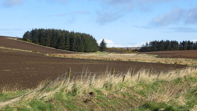
Image: © Richard Webb Taken: 15 Apr 2015
The floor of a reentrant is not draining, leaving rough grassland amongst better drained sloping arable land.
Images are licensed for reuse under creativecommons.org/licenses/by-sa/2.0
Image Location
Latitude
57.617662
Longitude
-2.254591