Public Memorial Hall, Llandybie
Introduction
The photograph on this page of Public Memorial Hall, Llandybie by Jaggery as part of the Geograph project.
The Geograph project started in 2005 with the aim of publishing, organising and preserving representative images for every square kilometre of Great Britain, Ireland and the Isle of Man.

There are currently over 7.5m images from over 14,400 individuals and you can help contribute to the project by visiting https://www.geograph.org.uk
Public Memorial Hall, Llandybie
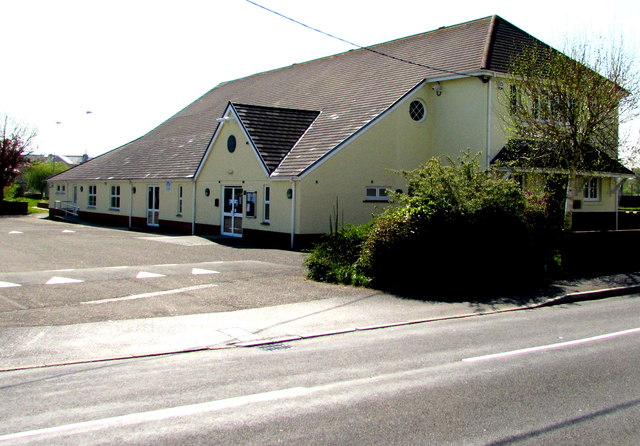
Image: © Jaggery Taken: 23 Apr 2015
Viewed across Woodfield Road. Dated December 27th 1924, the dedication on the foundation stone is to the memory of the men of Llandybie who fell in the Great War. On the stone, Llandybie is spelt LLANDEBIE. It is highly unlikely that a spelling error would be allowed to remain on such an inscription, so it looks like Llandebie was the prevalent spelling nearly a century ago.
Images are licensed for reuse under creativecommons.org/licenses/by-sa/2.0
Image Location
Latitude
51.818017
Longitude
-4.00656