Down Churchfield Lane
Introduction
The photograph on this page of Down Churchfield Lane by John Sutton as part of the Geograph project.
The Geograph project started in 2005 with the aim of publishing, organising and preserving representative images for every square kilometre of Great Britain, Ireland and the Isle of Man.

There are currently over 7.5m images from over 14,400 individuals and you can help contribute to the project by visiting https://www.geograph.org.uk
Down Churchfield Lane
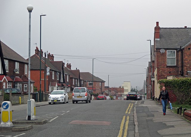
Image: © John Sutton Taken: 20 Apr 2015
To the right are houses at what was the edge of the built-up city until the inter-war years, to the left ones built in the late 1930s. The Art Deco curves of the former Capitol Cinema, now a gospel church, show at the bottom of the hill. The rest of the day was bright, but although early-morning mist had cleared, before nine o'clock the sun had yet to burn through low cloud.
Images are licensed for reuse under creativecommons.org/licenses/by-sa/2.0
Image Location
Latitude
52.962547
Longitude
-1.180096