The centre of Boncath
Introduction
The photograph on this page of The centre of Boncath by John Baker as part of the Geograph project.
The Geograph project started in 2005 with the aim of publishing, organising and preserving representative images for every square kilometre of Great Britain, Ireland and the Isle of Man.

There are currently over 7.5m images from over 14,400 individuals and you can help contribute to the project by visiting https://www.geograph.org.uk
The centre of Boncath
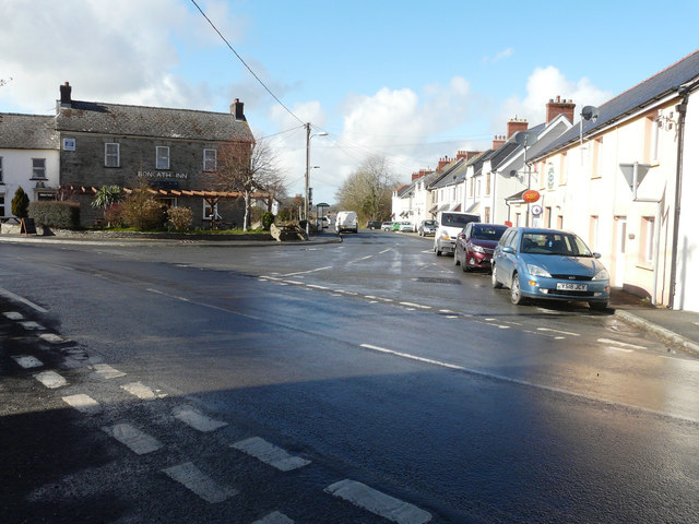
Image: © John Baker Taken: 24 Mar 2015
With the Boncath Inn on the left of the road and the post office opposite. It was here I first came across signs of a rain shower having experienced dry conditions to the west.
Images are licensed for reuse under creativecommons.org/licenses/by-sa/2.0
Image Location
Latitude
52.014451
Longitude
-4.617817