Footbridge, Southwest Coast Path
Introduction
The photograph on this page of Footbridge, Southwest Coast Path by jeff collins as part of the Geograph project.
The Geograph project started in 2005 with the aim of publishing, organising and preserving representative images for every square kilometre of Great Britain, Ireland and the Isle of Man.

There are currently over 7.5m images from over 14,400 individuals and you can help contribute to the project by visiting https://www.geograph.org.uk
Footbridge, Southwest Coast Path
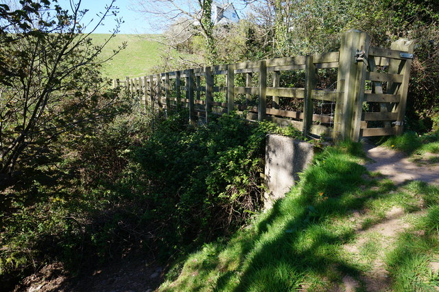
Image: © jeff collins Taken: 22 Apr 2015
After leaving Strete behind the coast path drops down a field and crosses this deep scar in the landscape. I suppose cut out by the stream running through it over hundreds of years.
Images are licensed for reuse under creativecommons.org/licenses/by-sa/2.0
Image Location
Latitude
50.311831
Longitude
-3.626006