Rape field by Berkhamsted Road, Gadebridge
Introduction
The photograph on this page of Rape field by Berkhamsted Road, Gadebridge by David Howard as part of the Geograph project.
The Geograph project started in 2005 with the aim of publishing, organising and preserving representative images for every square kilometre of Great Britain, Ireland and the Isle of Man.

There are currently over 7.5m images from over 14,400 individuals and you can help contribute to the project by visiting https://www.geograph.org.uk
Rape field by Berkhamsted Road, Gadebridge
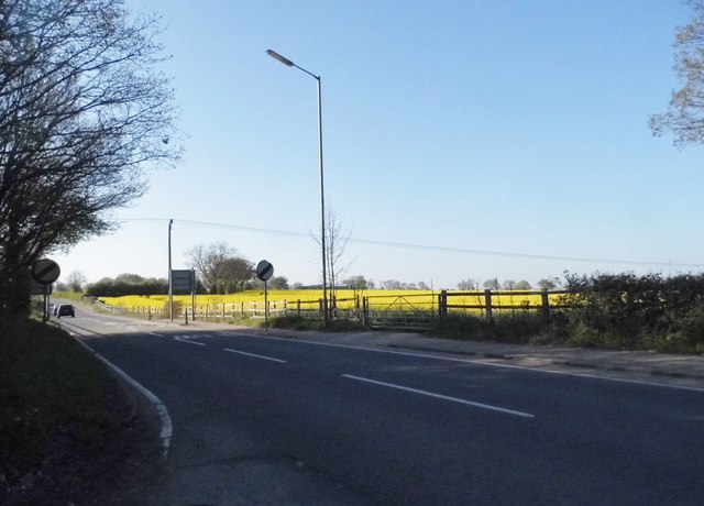
Image: © David Howard Taken: 23 Apr 2015
This is the border of the Hemel Hempstead urban area where the farmland begins.
Images are licensed for reuse under creativecommons.org/licenses/by-sa/2.0
Image Location
Latitude
51.763788
Longitude
-0.505709