Etruria: route of the Potteries Loop Line
Introduction
The photograph on this page of Etruria: route of the Potteries Loop Line by Jonathan Hutchins as part of the Geograph project.
The Geograph project started in 2005 with the aim of publishing, organising and preserving representative images for every square kilometre of Great Britain, Ireland and the Isle of Man.

There are currently over 7.5m images from over 14,400 individuals and you can help contribute to the project by visiting https://www.geograph.org.uk
Etruria: route of the Potteries Loop Line
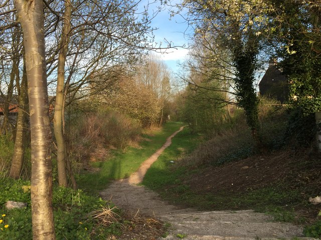
Image: © Jonathan Hutchins Taken: 20 Apr 2015
This footpath between Hanley and Etruria is one of the few remaining identifiable sections of the Potteries Loop Line.
Images are licensed for reuse under creativecommons.org/licenses/by-sa/2.0
Image Location
Latitude
53.024369
Longitude
-2.190344