Erection of dwellings, West Street
Introduction
The photograph on this page of Erection of dwellings, West Street by John Baker as part of the Geograph project.
The Geograph project started in 2005 with the aim of publishing, organising and preserving representative images for every square kilometre of Great Britain, Ireland and the Isle of Man.

There are currently over 7.5m images from over 14,400 individuals and you can help contribute to the project by visiting https://www.geograph.org.uk
Erection of dwellings, West Street
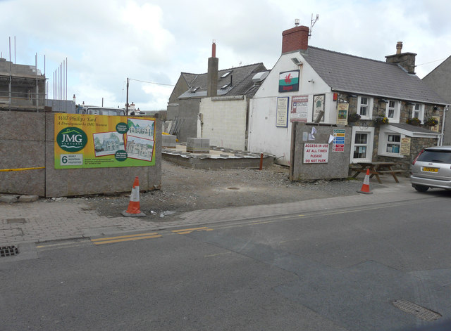
Image: © John Baker Taken: 24 Mar 2015
They are being built next to the Royal Oak public house. I found the planning application BR/0640/12 on Pembrokeshire County Council’s website that described the work to be carried out as “three new dwellings” but that the application had been rejected, subject to certain conditions. However, now it seems that they are in the course of being built.
Images are licensed for reuse under creativecommons.org/licenses/by-sa/2.0
Image Location
Latitude
52.015793
Longitude
-4.835503