Pasture near Trefranck
Introduction
The photograph on this page of Pasture near Trefranck by Derek Harper as part of the Geograph project.
The Geograph project started in 2005 with the aim of publishing, organising and preserving representative images for every square kilometre of Great Britain, Ireland and the Isle of Man.

There are currently over 7.5m images from over 14,400 individuals and you can help contribute to the project by visiting https://www.geograph.org.uk
Pasture near Trefranck
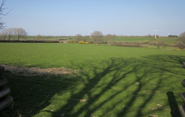
Image: © Derek Harper Taken: 20 Apr 2015
From the lane to Cold Northcott. With one or two exceptions, the wind turbines at Cold Northcott wind farm are strangely immobile, rather like that moment in "The War of the Worlds" when the Martians are struck by microbes.
Images are licensed for reuse under creativecommons.org/licenses/by-sa/2.0
Image Location
Latitude
50.637849
Longitude
-4.541243