Nunhead Green
Introduction
The photograph on this page of Nunhead Green by Martin Addison as part of the Geograph project.
The Geograph project started in 2005 with the aim of publishing, organising and preserving representative images for every square kilometre of Great Britain, Ireland and the Isle of Man.

There are currently over 7.5m images from over 14,400 individuals and you can help contribute to the project by visiting https://www.geograph.org.uk
Nunhead Green
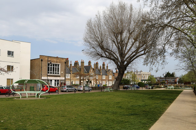
Image: © Martin Addison Taken: 16 Apr 2015
With the Salvation Army hall and the Beer & Wine Trade Homes in the centre of the street opposite.
Images are licensed for reuse under creativecommons.org/licenses/by-sa/2.0
Image Location
Latitude
51.465361
Longitude
-0.058814