Coventry/Bedworth boundary marker
Introduction
The photograph on this page of Coventry/Bedworth boundary marker by Jaggery as part of the Geograph project.
The Geograph project started in 2005 with the aim of publishing, organising and preserving representative images for every square kilometre of Great Britain, Ireland and the Isle of Man.

There are currently over 7.5m images from over 14,400 individuals and you can help contribute to the project by visiting https://www.geograph.org.uk
Coventry/Bedworth boundary marker
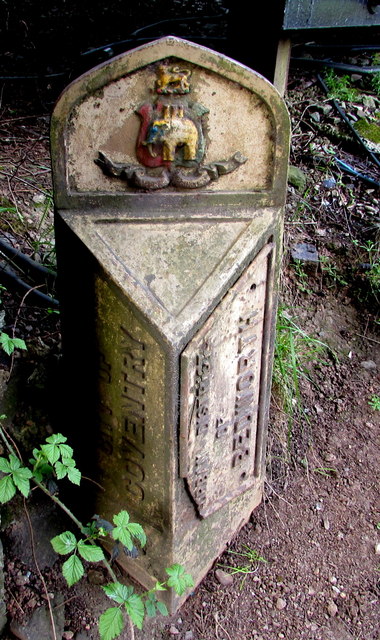
Image: © Jaggery Taken: 19 Apr 2015
On the west side of the B4113 at the edge of this http://www.geograph.org.uk/photo/4439051 bridge. CITY OF COVENTRY on the left side. URBAN DISTRICT OF BEDWORTH on the right side.
Images are licensed for reuse under creativecommons.org/licenses/by-sa/2.0
Image Location
Latitude
52.457238
Longitude
-1.484582