Mindi House Arabian Restaurant, Coventry
Introduction
The photograph on this page of Mindi House Arabian Restaurant, Coventry by Jaggery as part of the Geograph project.
The Geograph project started in 2005 with the aim of publishing, organising and preserving representative images for every square kilometre of Great Britain, Ireland and the Isle of Man.

There are currently over 7.5m images from over 14,400 individuals and you can help contribute to the project by visiting https://www.geograph.org.uk
Mindi House Arabian Restaurant, Coventry
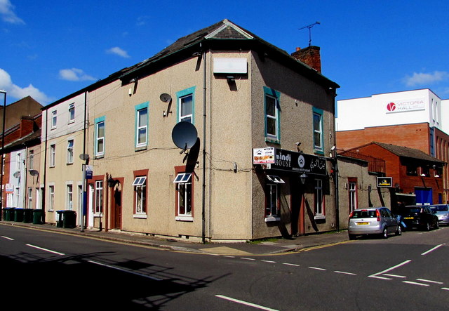
Image: © Jaggery Taken: 18 Apr 2015
On the corner of Lower Ford Street and Hood Street. Victoria Hall is in the background.
Images are licensed for reuse under creativecommons.org/licenses/by-sa/2.0
Image Location
Latitude
52.408572
Longitude
-1.498821