Inner ring road, Coventry city centre
Introduction
The photograph on this page of Inner ring road, Coventry city centre by Jaggery as part of the Geograph project.
The Geograph project started in 2005 with the aim of publishing, organising and preserving representative images for every square kilometre of Great Britain, Ireland and the Isle of Man.

There are currently over 7.5m images from over 14,400 individuals and you can help contribute to the project by visiting https://www.geograph.org.uk
Inner ring road, Coventry city centre
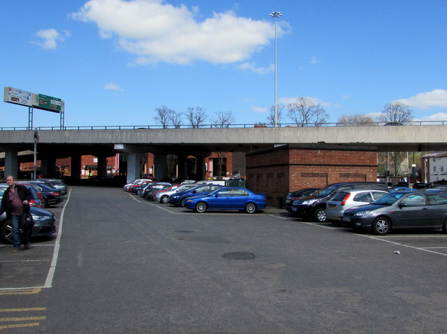
Image: © Jaggery Taken: 18 Apr 2015
Completed in the early 1970s, the inner ring road improved traffic flows through the city centre. This small section is north of Fairfax Street.
Images are licensed for reuse under creativecommons.org/licenses/by-sa/2.0
Image Location
Latitude
52.410305
Longitude
-1.504535