Dolwyddelan and Moel Siabod (2,866 ft.), 1992
Introduction
The photograph on this page of Dolwyddelan and Moel Siabod (2,866 ft.), 1992 by Ben Brooksbank as part of the Geograph project.
The Geograph project started in 2005 with the aim of publishing, organising and preserving representative images for every square kilometre of Great Britain, Ireland and the Isle of Man.

There are currently over 7.5m images from over 14,400 individuals and you can help contribute to the project by visiting https://www.geograph.org.uk
Dolwyddelan and Moel Siabod (2,866 ft.), 1992
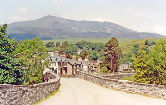
Image: © Ben Brooksbank Taken: 25 Jun 1992
View NW from by the station.
Images are licensed for reuse under creativecommons.org/licenses/by-sa/2.0
Image Location
Latitude
53.051465
Longitude
-3.885556