Polyphant Methodist Church
Introduction
The photograph on this page of Polyphant Methodist Church by Derek Harper as part of the Geograph project.
The Geograph project started in 2005 with the aim of publishing, organising and preserving representative images for every square kilometre of Great Britain, Ireland and the Isle of Man.

There are currently over 7.5m images from over 14,400 individuals and you can help contribute to the project by visiting https://www.geograph.org.uk
Polyphant Methodist Church
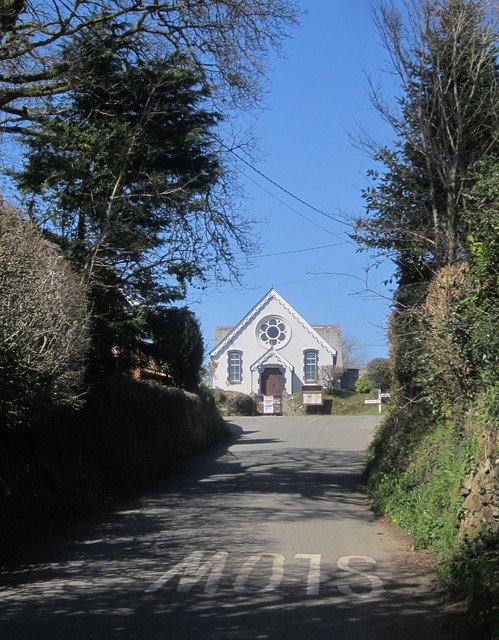
Image: © Derek Harper Taken: 14 Apr 2015
The lane from the green climbs to a T junction in front of the church Image The church may date from 1887 http://crocat.cornwall.gov.uk/DServe/dserve.exe?dsqIni=Dserve.ini&dsqApp=Archive&dsqDb=Persons&dsqSearch=Code==%27CRO%2FUK%2F786%27&dsqCmd=Show.tcl .
Images are licensed for reuse under creativecommons.org/licenses/by-sa/2.0
Image Location


Leaflet Map data © OpenStreetMap
Latitude
50.613562
Longitude
-4.457518