Scale model of dam
Introduction
The photograph on this page of Scale model of dam by Michael Wright as part of the Geograph project.
The Geograph project started in 2005 with the aim of publishing, organising and preserving representative images for every square kilometre of Great Britain, Ireland and the Isle of Man.

There are currently over 7.5m images from over 14,400 individuals and you can help contribute to the project by visiting https://www.geograph.org.uk
Scale model of dam
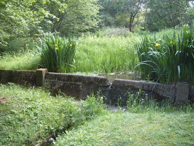
Image: © Michael Wright Taken: 24 May 2007
BRE dates way back, and during the war carried out testing on the size of explosives required to make a hole in a concrete dam. This is in the woods at BRE, which have bluebells in at certain times of the year.
Images are licensed for reuse under creativecommons.org/licenses/by-sa/2.0
Image Location
Latitude
51.701796
Longitude
-0.374181