A40/A417 link road at entrance to Centre Severn
Introduction
The photograph on this page of A40/A417 link road at entrance to Centre Severn by Richard Auckland as part of the Geograph project.
The Geograph project started in 2005 with the aim of publishing, organising and preserving representative images for every square kilometre of Great Britain, Ireland and the Isle of Man.

There are currently over 7.5m images from over 14,400 individuals and you can help contribute to the project by visiting https://www.geograph.org.uk
A40/A417 link road at entrance to Centre Severn
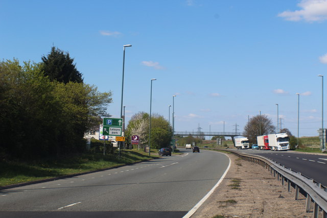
Image: © Richard Auckland Taken: 18 Apr 2015
The slip road to the left leads to the Tenpin Bowling centre, Nuffield Health Club, Wheatstone Inn and Premier Travel Inn. The footbridge over the road was built originally for cattle movement when the road was constructed. It therefore has a spiral and gradual incline. Now redundant due to the expansion of industrial units on the left of the road.
Images are licensed for reuse under creativecommons.org/licenses/by-sa/2.0
Image Location
Latitude
51.867882
Longitude
-2.196745