Isaac's Lane, Haywards Heath
Introduction
The photograph on this page of Isaac's Lane, Haywards Heath by Simon Carey as part of the Geograph project.
The Geograph project started in 2005 with the aim of publishing, organising and preserving representative images for every square kilometre of Great Britain, Ireland and the Isle of Man.

There are currently over 7.5m images from over 14,400 individuals and you can help contribute to the project by visiting https://www.geograph.org.uk
Isaac's Lane, Haywards Heath
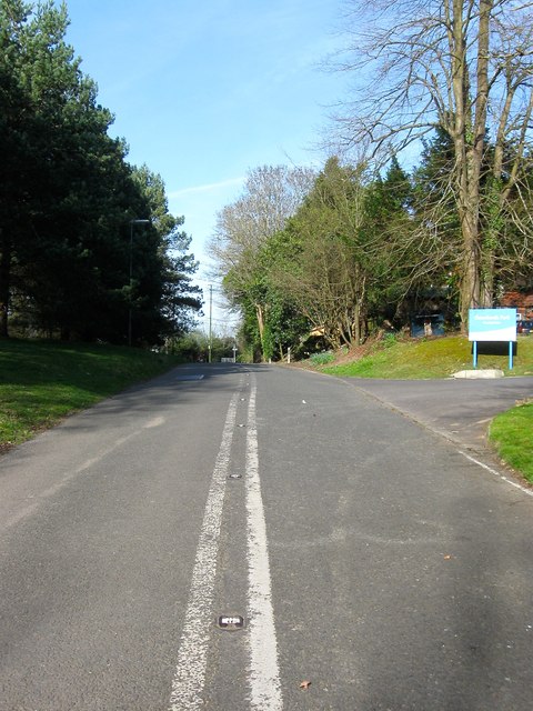
Image: © Simon Carey Taken: 12 Apr 2015
The old course of the A273 which was rerouted in the first phase of the construction of the Haywards Heath relief road around 2001. The road ends just south of the junction with Bolnore Farm Lane. To the left is Image whilst to the right is the entrance to Image
Images are licensed for reuse under creativecommons.org/licenses/by-sa/2.0
Image Location
Latitude
50.999081
Longitude
-0.11967